- By Sarju Saran Tiwari
- Wed, 30 Jul 2025 11:55 AM (IST)
- Source:JND
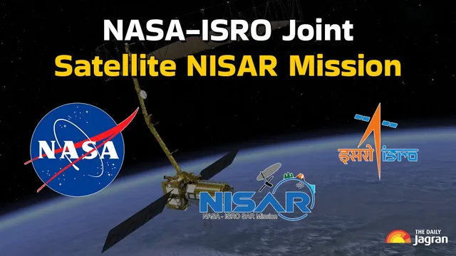
NISAR Satellite Launch 2025:In a landmark collaboration, NASA (National Aeronautics and Space Administration) and ISRO (Indian Space Research Organisation) are set to launch the NISAR satellite from Sriharikota today on July 30, 2025. NISAR (NASA-ISRO Synthetic Aperture Radar) will orbit Earth to capture highly detailed, all-weather, day-night images using revolutionary dual-frequency radar systems.
The mission will transform how we understand Earth's dynamic systems, from mapping fault lines and tracking glacier movement to monitoring deforestation and flood zones. With unprecedented precision and revisit cycles of just 12 days, NISAR is poised to become a global asset in environmental monitoring and climate resilience.
What is NISAR and Why Is It Unique?
| Feature | Description |
|---|---|
| Full Name | NASA-ISRO Synthetic Aperture Radar |
| Radar Type | Dual-frequency (L-band by NASA, S-band by ISRO) |
| Launch Date | July 30, 2025 |
| Launch Vehicle | GSLV-F16 from Sriharikota, India |
| Antenna Size | 12-meter deployable mesh reflector |
| Orbit | Sun-synchronous orbit, ~747 km altitude |
| Revisit Time | 12 days globally, 6 days regionally |
NISAR will be the first Earth observation satellite using dual-frequency SAR, making it capable of detecting changes smaller than one centimeter in Earth’s crust, vegetation, and ice sheets.
Applications of NISAR: Earth Monitoring Redefined
| Domain | NISAR’s Role |
|---|---|
| Natural Disasters | Detects ground deformation, landslides, and post-earthquake damage |
| Climate Change | Tracks glacier retreat, soil moisture, and cryosphere changes |
| Agriculture | Monitors crop health, soil moisture, and irrigation effects |
| Ecosystems | Maps forest degradation, wetland shifts, and deforestation patterns |
| Urban Planning | Supports land-use monitoring, infrastructure development, and zoning |
NISAR’s precise imaging capabilities can aid governments and scientists in preparing for and responding to environmental and disaster challenges more effectively.
Technology Behind NISAR’s SAR System
| Component | Traditional Radar | NISAR SAR Advantage |
|---|---|---|
| Antenna Size | Very large, hard to deploy | Compact 12m deployable mesh, lightweight |
| Resolution | Limited by antenna range | Sub-centimeter surface change detection |
| Cloud Penetration | Limited | Penetrates clouds, smoke, and darkness |
| Data Volume | Lower | Massive data throughput with dual-frequency operation |
The SweepSAR mode used by NISAR covers a wide swath of 242 km, enabling rapid scanning and frequent revisits of target regions.
NASA and ISRO: A Historic Partnership for Earth Science
Since signing the MoU in 2014, NASA and ISRO have pooled their technical expertise to create a next-gen Earth monitoring tool. NASA has provided the L-band radar, GPS, and communication system, while ISRO has contributed the S-band radar, satellite bus, and launch services.
This partnership highlights how space diplomacy can advance global sustainability goals, particularly in addressing the climate crisis and natural disaster management. The collaboration also sets the stage for more joint ventures in deep space and planetary science in the future.
How NISAR Supports Sustainable Development Goals (SDGs)?
| SDG Goal | NISAR’s Contribution |
|---|---|
| Climate Action (Goal 13) | Provides data for climate modeling, glacier monitoring |
| Life on Land (Goal 15) | Tracks deforestation, biodiversity loss |
| Sustainable Cities (Goal 11) | Monitors urban sprawl and land-use changes |
| Zero Hunger (Goal 2) | Helps manage agricultural land and predict crop yields |
| Clean Water (Goal 6) | Tracks wetland and watershed dynamics |
NISAR enables governments and researchers to monitor key environmental indicators, ensuring policies align with real-time planetary changes.
A Game-Changer in Earth Observation:
NISAR is more than just a technological marvel—it is a necessity in a world grappling with climate change and increasing natural disasters. Its ability to observe even the smallest shifts in the Earth’s surface empowers scientists to understand tectonic activities, glacier retreats, and ecosystem degradation.
With data accessible to the global scientific community, NISAR will contribute to building a more informed, prepared, and resilient world. Its insights will guide disaster management strategies, infrastructure planning, agricultural policy, and climate action for decades to come.