Jagran Bureau, New Delhi: Following the devastating flash floods in Nepal that left 1,259 dead and over 5,000 missing, experts have warned that similar incidents could occur in the Himalayan regions of India.
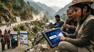
However, with the use of specialised tools like GeoSARAL, an indigenous Geographic Information System (GIS) based software, authorities can not only issue timely warnings but also carry out relief operations more effectively when a disaster hits.
What is GeoSARAL?
Esri India, the country's leading provider of location intelligence and mapping solutions, on Thursday launched GeoSARAL, Linux-based desktop GIS software. This has been introduced in India for the first time and is built specifically for local needs.
"Our focus remains on introducing new technologies aligned with customer needs. The launch of GeoSARAL is an important step towards becoming technologically self-reliant," Agendra Kumar, Managing Director of Esri India, said.
GeoSARAL is designed for government departments and organisations that need a lightweight desktop GIS for mapping, data visualisation, field inspection, and editing.
How Will It Help?
According to the company, GeoSARAL can track minor changes in remote mountain areas, which are often the first signs of landslides or flash floods.
"This allows us to closely monitor remote mountainous areas and observe changes taking place there. In the event of a disaster, we can obtain accurate information about evacuation, relief, and opening routes for stranded people," Kumar said.
He explained that GeoSARAL will help monitor landslides, floods, and other natural disasters in vulnerable areas like the Himalayas. This will help reduce losses and speed up relief work so that events like the one in Nepal are not repeated in India.