- By Akansha Pandey
- Sat, 13 Sep 2025 04:20 PM (IST)
- Source:Jagran News Network
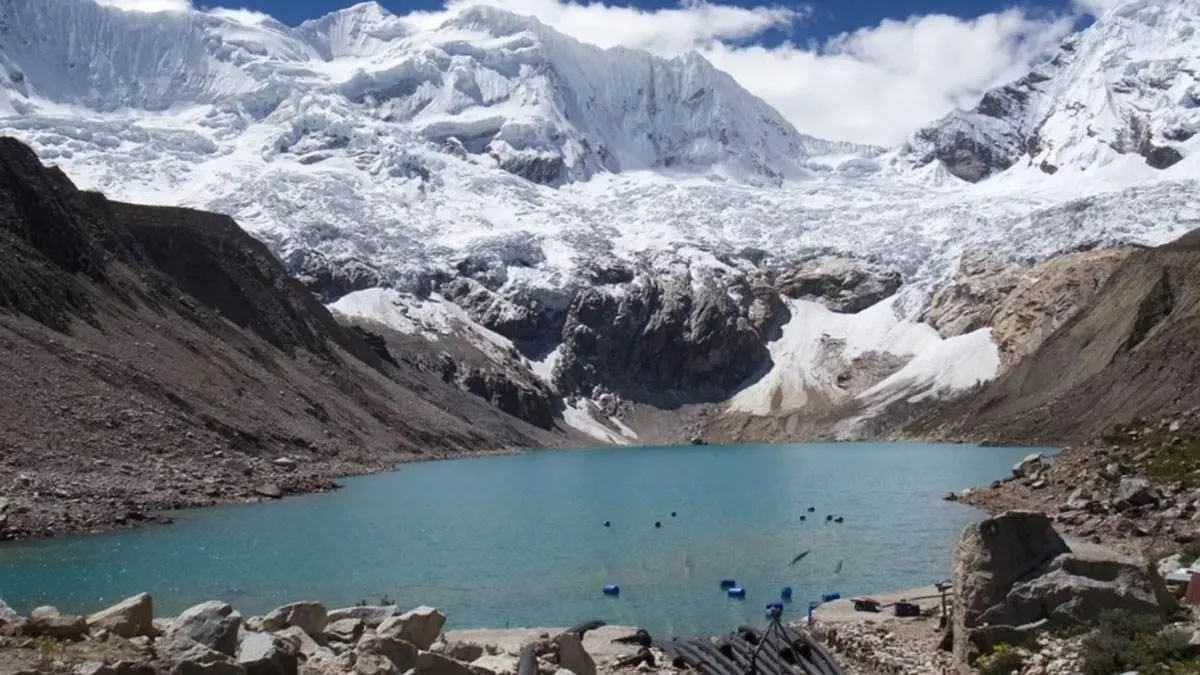
In response to recent disasters linked to glacial activity, the Uttarakhand Information Technology Department will now conduct a comprehensive satellite survey of all glaciers and snow-covered areas in the state. The survey will begin with a focus on 13 previously identified sensitive glaciers.
The Uttarakhand Space Application Centre (USAC), in collaboration with the Indian Space Research Organisation (ISRO), will lead the study. This initiative follows disasters like the recent one in Dharali, where debris flow from glaciers was a major cause, and the 2013 Kedarnath tragedy, which was triggered by a glacial break.
The survey will be conducted in a phased manner across the state's more than 1,400 glaciers. In the first phase, satellite images of the 13 sensitive glaciers will be taken periodically to study changes and monitor their potential to cause future disasters. This builds upon a previous survey of these glaciers conducted by USAC and the Wadia Institute. Subsequent phases will cover the remaining glaciers. The findings will be submitted to the Disaster Management Department to enable necessary action.
"A satellite survey of all glaciers will be conducted in a phased manner. The objective is to formulate a concrete action plan to address any changes that are observed," said Nitesh Jha, Secretary of Information Technology.
Location Of The 13 Sensitive Glaciers
- Chamoli (4): Vasudhara Tal and three unnamed glaciers.
- Uttarkashi (1): Kedartal.
- Bageshwar (1): Nag Kund.
- Tehri Garhwal (1): Masuri Tal.
- Pithoragarh (6): Mbang, Pyungru and four unnamed glaciers.
Also Read: Indian-Origin Son Kills Elderly Mother After Fight Over 'TV Remote'; UK Court Awards Life Sentence