- By Shivangi Sharma
- Wed, 25 Sep 2024 01:03 PM (IST)
- Source:JND
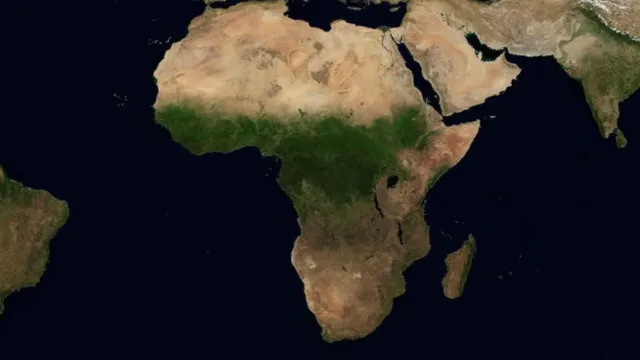
In a remarkable display of nature's resilience, the Sahara Desert is undergoing an extraordinary transformation, shifting from an arid expanse to lush greenery. NASA has shared stunning images capturing this phenomenon, showcasing the striking contrast of vibrant vegetation against the backdrop of the vast desert.
NASA's satellite images show patches of vegetation appearing in the desert after an extratropical cyclone brought significant rainfall to parts of northwestern Africa on September 7 and 8. Areas in Morocco, Algeria, Tunisia, and Libya, regions that typically receive little rain, are now exhibiting signs of greenery, according to NASA's Earth Observatory.
An extratropical cyclone over the Sahara Desert drenched parts of Morocco and Algeria – bringing up to a year’s worth of rain to some areas. 🌧️ @nasa’s Terra satellite captured floodwaters and some Saharan lakes, usually dry, filled with water. https://t.co/cuS1c73RoA pic.twitter.com/m8Ga8G0FgO
— NASA Earth (@NASAEarth) September 17, 2024
This follows an unusual downpour that has impacted the Sahara, one of the driest places on Earth. Although the exact reason for the increased rainfall in the desert is unclear, scientists suggest it may be linked to a particularly calm Atlantic hurricane season.
-1727249517516.jpg)
The MODIS (Moderate Resolution Imaging Spectroradiometer) on NASA’s Terra satellite captured this false-color image (right) of the resulting runoff and floodwater on September 10, 2024.
The rainfall has been so intense that some normally arid areas in North Africa are now experiencing flooding, with forecasts indicating that parts of the Sahara could receive five times their average rainfall for September.
Why Is Sahara Desert Experiencing Record Rainfall?
In Africa, rainfall in the northern regions rises from July to September as the West African Monsoon commences. This phenomenon, characterised by an uptick in stormy weather, occurs when moist, tropical air from near the equator interacts with hot, dry air from the continent's northern regions. This area is referred to as the Intertropical Convergence Zone (ITCZ).
Since mid-July, the Intertropical Convergence Zone has moved unusually far north, bringing storms to areas of the southern Sahara, including parts of Niger, Chad, northern Libya, and Sudan, according to data from the National Oceanic and Atmospheric Administration (NOAA) Climate Prediction Center.
As a result, these regions of the Sahara Desert are experiencing rainfall levels that are two to more than six times higher than normal, as reported by CNN.