- By Shibra Arshad
- Sat, 08 Nov 2025 10:55 AM (IST)
- Source:JND
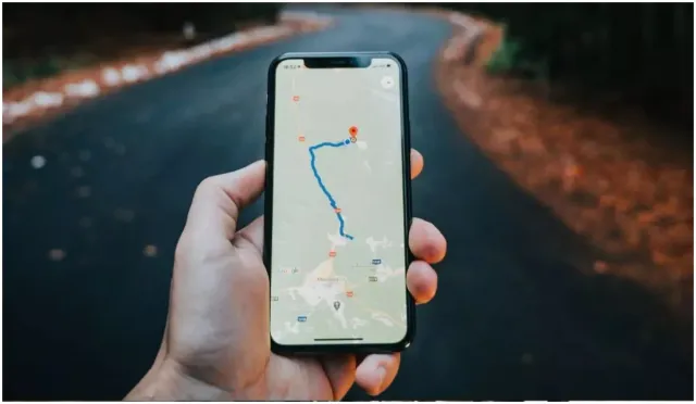
In good news to commuters travelling to Gurugram, Google Maps has come up with an innovative initiative to update drivers with real-time traffic situation and accident-prone zones.
The Gurugram police and Google Maps have launched a new navigation alert for 129 km key city roads to curb traffic-related fatalities.
The new navigation feature will alert drivers when they approach high-risk or accident-prone stretches. The feature will now display the permitted speed limit.
Rajesh Mohan (Deputy Commissioner of Police, Traffic) said that the move aims to reduce traffic-related fatalities by raising awareness in drivers and reducing risky behaviours such as sudden lane changes and overspeeding. “Many crashes happen because commuters speed on busy stretches," he said, adding that the survival rate in cases of collision at lower speeds is comparatively high.
Gurugram Traffic Police plans to roll out the digital alert system across more than 200 roads by early next year, ensuring coverage of every key junction and major artery in the city.
What Is Aim Behind The Move
The initiative has been launched to target notorious roads that have been flagged as risky. The risky seats, as per data released by the police, are-
-NH-48
-Dwarka Expressway
-Sohna Road
-Golf Course Extension Road
All these areas will soon display virtual caution markers on GPS navigation apps.
ALSO READ: Uttarakhand PWD Expands Road Network To 43,765 Km; Vision-2050 Aims To Make State Developed By 2047
Accident Data Released By Delhi Police
The digital alert feature was introduced by Gurugram traffic police following the release of shocking accident statistics, which reveal that so far this year, 345 deaths and more than 580 injuries have been recorded in road accidents across the city.

