
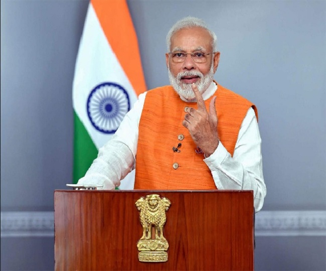
New Delhi | Jagran News Desk: In a significant reform for rural landowners aimed at improving the finances of rural property, Prime Minister Narendra Modi will, on Sunday, hand over the physical copies of property titles of their homes and surrounding areas to 1,32,000 landowners in 763 villages across the country, under the Svamitva project launched by him in April this year.
The title deeds, which will be handed over to the villagers, will enable them to access bank finance using their property as collateral, and will also help in keeping a record of properties in rural India. The title deeds will also map all urban or Abadi (populated) areas of 6.40 lakh villages in the country by 2024. The title deeds will also help in ending the property disputes that have gone on for years.
The physical copies, as well as digital property cards of the title deeds, will be handed over to house owners from 763 villagers including 221 from Haryana, 2 from Karnataka, 100 from Maharashtra, 44 from Madhya Pradesh, 346 from Uttar Pradesh and 50 from Uttarakhand
Recommended For You
The distribution of these title deeds under the Svamitva scheme will provide an integrated asset verification system for the rural areas. Under the scheme, the land in rural populated areas will be mapped using modern technologies including the use of drones to demarcate the land. The demarcation will be done with the help of the Ministry of Panchayati Raj, State Revenue Departments and the Survey of India.
The representatives of the revenue department and other departments will prepare a record of the ownership in the presence of the owner and also, a detailed arrangement has also been made to settle the disputes on the spot.
Here’s everything one needs to know about the ‘Swamitva Yojana’
The Swamitva scheme is aimed to create a record of land ownership in rural areas.
The scheme will provide ownership rights to people in the villages and will also help in settling the land disputes which go on for years.
The residential land in villages will be measured using drones to create a non-disputable record. It is the latest technology for surveying and measuring of land.
The scheme will be carried out in close coordination with the Central Panchayati Raj ministry, Survey of India, Panchayati Raj departments and Revenue departments of various states.
Drones will be used to draw a digital map for every property falling inside a village and will also demarcate the boundaries of revenue areas.
Property card for every property in the village will be prepared by states using accurate measurements delivered by drone-mapping.
The delivery of property rights through an official document will enable villagers to access bank finance using their property as collateral.