- By Priyanka Koul
- Mon, 02 Dec 2024 09:08 AM (IST)
- Source:JND
Weather Update: This year's winter season seems to be arriving later than usual. Despite the fact that it's already December, temperatures have been unusually warm for this time of year, and even October and November were warmer than expected. The minimum temperatures are still above normal, and there's no sign of the cold weather that typically ushers in winter. However, the Indian Meteorological Department (IMD) forecasts that winter conditions will kick in around the second week of December, with a noticeable drop in temperature after the 11th or 12th.
Change in Weather Expected After December 11th
According to the Indian Meteorological Department , a major weather shift is expected after the 11th or 12th of December when a western disturbance will trigger heavy snowfall in the northern hills. This disturbance will cause cold north-western winds to sweep across the plains of North India. While the minimum temperature will gradually decrease during this period, it is expected to remain around seven degrees Celsius. A western disturbance, set to form around December 7-8, will bring significant snowfall to regions like Jammu and Kashmir valley, triggering a chain reaction that will influence weather across North India.
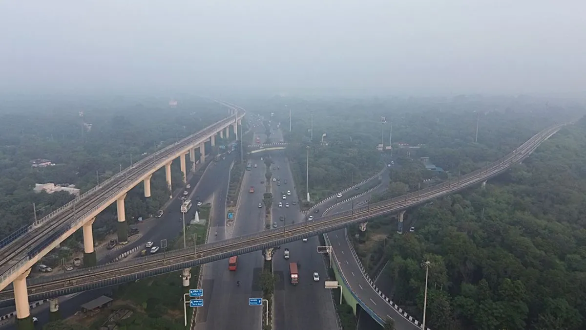
#WATCH | Delhi: Thin layer of smog engulfs part of Akshardham area.
— ANI (@ANI) December 2, 2024
The Air Quality Index (AQI) is 'poor' in several parts of Delhi, according to the CPCB. pic.twitter.com/ilL0sntKcm
Cold Weather to Impact North Indian States
The effects of the western disturbance will likely be felt in parts of North India, including states like Haryana, Punjab, Chandigarh, Delhi, and western Uttar Pradesh, around 3-4 days after the disturbance forms. As cold winds from the north move southward, temperatures in areas like Delhi, Ranchi, and Raipur may start to dip.
Also Read: GST Collections Rise 8.5% To Rs 1.82 Lakh Crore In November
Meanwhile, IMD believes that there is not going to be any major drop in temperature at the moment. While there has been speculation about a sharp drop in temperatures due to the La Niña phenomenon in the Pacific Ocean, the IMD clarifies that there is no La Niña effect expected at this time. La Niña, which can lead to colder winters, might not become active until late December or January, but meteorologists believe that the current weather patterns aren’t directly linked to La Niña. This year, weather conditions have been a bit unusual, with even October being warmer than usual.
Record-Breaking Temperatures this year
Furthermore, October was recorded as the hottest October in Delhi since 1951, with average temperatures around 2°C higher than normal. The average maximum temperature in October reached 35.1°C, while the minimum temperature was 21.2°C — the highest minimum since 1951. November was similarly warm, with temperatures staying higher than usual. This made it the hottest November in the past five years. Notably, temperatures in Delhi and surrounding areas rarely dipped below 10°C, a phenomenon last seen in 2019.
#WATCH | The Air Quality Index (AQI) remains in the 'Poor' category in Delhi as per the Central Pollution Control Board (CPCB).
— ANI (@ANI) December 2, 2024
(Visuals from Connaught Place) pic.twitter.com/ZHezwS9plx
One of the key factors contributing to this delayed winter is the absence of significant rainfall during the monsoon season in October and November. Due to the trend of higher than normal temperatures, this year the month of November was also the hottest in the last five years. The day and night temperatures remained the highest. Lack of rain prevented the usual cooling effect and allowed temperatures to remain elevated. Alongside this, pollution levels in North India, especially in cities like Delhi, have remained high, further exacerbating the warmer-than-normal conditions.