
- India demands accurate depiction of J&K, Ladakh on UN map.
- Any inaccurate representation of India's territory is unacceptable.
- UN resolution promotes equal-area maps, not political boundaries.
India on Sunday said a UN-initiated proposed world map must depict the Union Territories of Jammu and Kashmir and Ladakh in accordance with the country's official map, and any "inaccurate" or "misleading" representation will be unacceptable. The bold condition came amid political debate around New Delhi’s decision to back the updated world map.
What happened at UN?
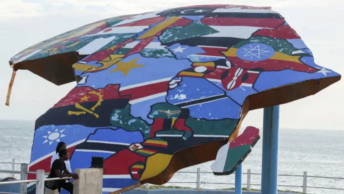
New Delhi's assertion came two days after it voted in favour of a UN General Assembly resolution aimed at correcting the world map to promote a more accurate representation of continental landmasses. The resolution titled "Correct the Map: Rebalancing Global Cartographic Representation and Promoting Equitable Representation of the World's Regions, Particularly Africa" was adopted on September 4.
Our response to media queries regarding a UN General Assembly resolution on equal-area world map ⬇️
— Randhir Jaiswal (@MEAIndia) September 6, 2026
🔗 https://t.co/sAnpGhX3fA pic.twitter.com/Cfyn3jMcOG
What are India's no-compromise conditions?
External Affairs Ministry spokesperson Randhir Jaiswal said India highlighted that the resolution does not constitute endorsement of any specific map, projection or depiction of national boundaries. "India voted in favour of the resolution and also made an explanation of the vote stressing the underlying principle of promoting equal - area cartographic representation," he said. Jaiswal was responding to a media query on the issue.
Recommended For You
"India's sovereign territory, including the Union Territories of Jammu and Kashmir and Ladakh, must be depicted in accordance with India's official map. Any inaccurate or misleading depiction is unacceptable," he said. "Our position on India's sovereignty and territorial integrity is clear, consistent and non-negotiable," he noted.
Backing should not be confused with any alteration regarding boundries: India
Jaiswal said the purpose of the UN resolution is "to encourage the use of equal-area map projections that preserve the relative sizes of continental landmasses." "The resolution neither adopts nor authenticates any particular world map, nor does it address political cartography, including international boundaries, disputed territories or place names," he said.
The resolution, sponsored by Togo, received 164 votes in favour, with abstentions from Estonia, Georgia, Lithuania, Moldova, Serbia and Ukraine, and a lone vote against from the United States.
Why does a small African nation push for an updated world map?
Togo pushed for an updated world map at the UN because it believes the commonly used Mercator projection distorts the true size of continents, particularly making Africa appear much smaller than it actually is. The country argues that this distorted representation can influence how people, especially children, perceive Africa’s geographical importance.
ALSO READ: Deliberate Signal Or Mistake? US Deletes Bold Map Showing PoK And Aksai Chin As Indian Territory
Togo has backed the Equal Earth projection, which presents continents in more accurate relative sizes. The initiative is also linked to wider African efforts to challenge colonial-era perceptions and ensure the continent is represented more fairly on global platforms.
The UN resolution supporting the new map was adopted by a large majority, although it is not legally binding and does not require countries to abandon the Mercator projection, which remains useful for navigation.
Togo plans to introduce the Equal Earth projection into its school geography materials, aiming to give future generations a more accurate understanding of the world’s geography.