- By Supratik Das
- Sat, 10 May 2025 10:59 AM (IST)
- Source:JND
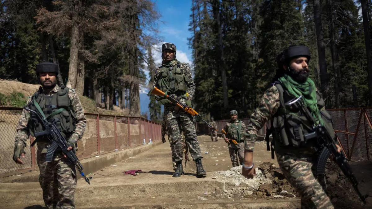
High-resolution satellite imagery has become an irreplaceable tool for modern warfare. It enables militaries to plan operations with surgical precision, minimising risks to civilians while targeting high-value threats. India conducted Operation Sindoor on May 7, 2025, which was a massive missile attack on nine terror camps in Pakistan and PoK. Conducted with pinpoint accuracy, the operation hit the strategic infrastructure of terror groups Jaish-e-Mohammed in Bahawalpur and Lashkar-e-Taiba in Muridke. The operation avoided civilian casualties while neutralising terror targets that were sheltered in congested areas. Such precision was facilitated by the utilisation of satellite imagery with a resolution of 30 cm, drawn from India's reconnaissance resources as well as international commercial sources such as Maxar.
Several weeks before the horrific terror strike in Jammu and Kashmir's Pahalgam, killing 26 civilians, there was a significant spike in requests for satellite imagery of the region on the platform of a leading US-based space technology firm, ThePrint reported. As per a report, between February 2 and February 22, 2025, at least 12 high-resolution satellite image orders were placed for Pahalgam and the surrounding region from Maxar Technologies. This surge in demand was only two months before terrorists launched one of the deadliest attacks in Kashmir in recent times, on April 22.
Who Commissioned the Images? Questions Arise
Though it is yet to be confirmed who ordered the satellite images of Pahalgam, ThePrint reported that suspicions have been raised by Maxar's recent alliance with a Pakistani company, Business Systems International Pvt Ltd (BSI). As per the reports, the firm has a controversial history and is said to be connected with Obaidullah Syed, a Pakistani-American man convicted in a US court for exporting sensitive technology illegally to Pakistan's nuclear agency.
The images from every Maxar satellite range in price at over ₹3 lakh, based on resolution. The company has government agencies, intelligence units, defence, and private enterprises around the globe as clients. Maxar’s portal, accessed by ThePrint, revealed that in addition to Pahalgam, satellite images captured other sensitive regions within India, such as Pulwama, Anantnag, Poonch, Rajouri, and Baramulla. An ISRO scientist, who was quoted by ThePrint, stated that India could actually ask Maxar officially to probe the trend of satellite image orders to assess whether data was accessed or utilized by entities with ill intent.
Lt Gen AK Bhatt (Retd), Director General, Indian Space Association (ISpA), cautioned that although satellite technology has boosted the intelligence, surveillance, and reconnaissance (ISR) capabilities of countries, its easy commercial accessibility also provides opportunities for abuse. "Commercial access to high-resolution satellite imagery from private space players has introduced new vulnerabilities. Malicious actors or non-state actors can potentially misuse this access to plot attacks," Bhatt said to The Print. With satellite imagery now constituting the backbone of contemporary intelligence operations—monitoring troop movements, weapon deployments, and border incursions, defense specialists are calling for closer regulation and international monitoring over the use of sensitive satellite data.