
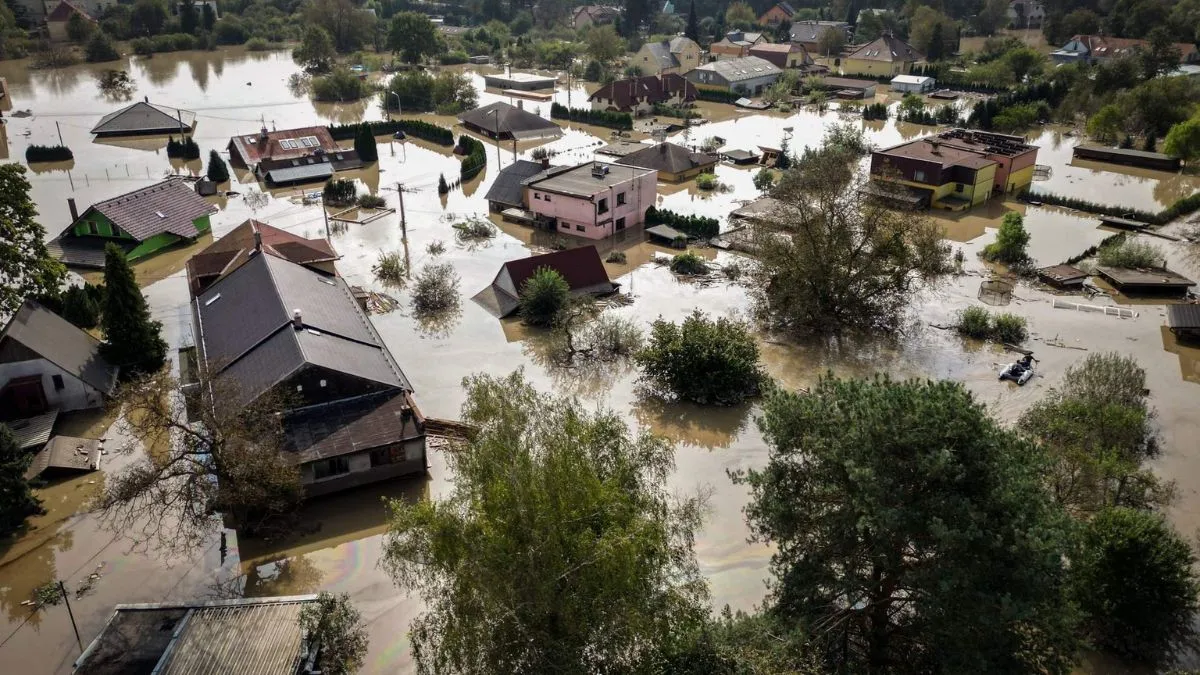
Chennai: In a significant step towards disaster management amid ongoing heavy flooding, Chennai has launched a Real-Time Flood Forecasting and Spatial Decision Support System (RTFF & SDSS). This RTFF and SDSS system gathers real-time data to monitor and predict flood events.
This makes Chennai the first city in India to use real-time flood forecasting technology, Times Now reported. This system delivers accurate and timely flood warnings, helping to minimise damage and save lives during floods.
The project is funded by the World Bank through the Project Development Grant Fund (PDGF) and managed by Tamil Nadu Urban Infrastructure Financial Services Limited (TNUIFSL).
ALSO READ: Chennai Weather: Heavy Rain, Thunderstorms To Hit City Today, Check IMD Forecast
What Is RTFF And SDSS?
- The Real-Time Flood Forecasting and Spatial Decision Support System (RTFF and SDSS) is a real-time flood forecasting technology that collects data to monitor conditions and provide accurate forecasts of flood events.
- With an estimated cost of Rs 107.2 crore, Chennai’s RTFF and SDSS is India’s first system of its kind, which will cover lakes, rivers, stormwater drainage networks, and the coastline.
- This system is designed to provide accurate forecasts of river and tank water levels, as well as street-level flood predictions in vulnerable areas across the city, including Pulianthope, Nungambakkam, Mambalam, Saidapet, Velachery, Meenambakkam, and Mudichur.
- It also monitors key river sub-basins such as the Adyar, Cooum, Kosasthalaiyar, and Kovalam rivers.
- Although primarily focused on Chennai, this system covers a vast area of around 4,974 km, spanning Chennai, Tiruvallur, Kancheepuram, Chengalpattu, and Ranipet.
How The System Works?
The RTFF and SDSS include:
- Automatic Rain Gauges (ARGs)
- Automatic Weather Stations (AWS)
- Automatic Water Level Recorders (AWLRs)
- Gate Sensors (GS)
These tools continuously collect high-resolution weather and water data, allowing decision-makers and local officials to forecast floods more accurately and respond quickly to potential threats. This helps minimise damage and save lives during floods.