- By Nidhi Giri
- Fri, 24 May 2024 12:37 PM (IST)
- Source:JND
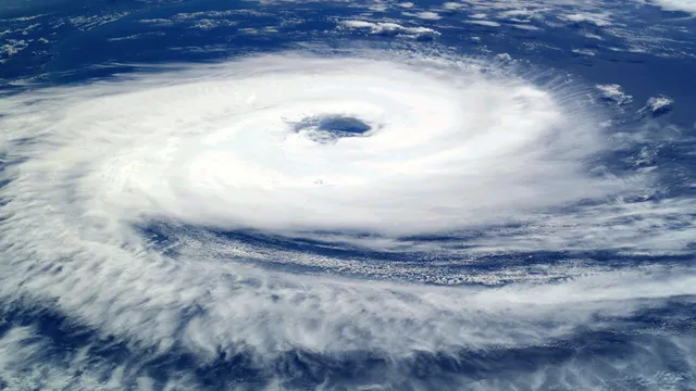
Cyclone Remal Updates: Cyclone Remal is likely to cross Bangladesh and adjoining West Bengal coasts between Sagar Island and Khepupara on Sunday midnight as a severe cyclonic storm. Remal is expected to develop over the east-central Bay of Bengal, reaching a wind speed of 100 to 120 km per hour, said the India Meteorological Department (IMD) on Friday. The well-marked low-pressure area over the west-central and adjoining south Bay of Bengal moved northeastwards over 12 hours, concentrated into a depression, and was on Friday centred over the central Bay of Bengal, about 800 km south-southwest of Khepupara (Bangladesh) and 810 km south of Canning (West Bengal).
It is likely to continue to move northeastwards and further develop into a cyclonic storm over the east-central Bay of Bengal by Saturday morning before moving nearly northwards, to intensify into a severe cyclonic storm by Saturday night. An IMD official said the North Indian Ocean is extremely warm and that sea surface temperatures of 30 to 31 degrees have all the potential to supercharge this cyclone. “But monsoon winds have already set in over the Peninsular region and this system is still attached to that monsoon flow,” the official added.
“But its travel time, when it has the potential to intensify, is short, about 1.5 days. So we are hoping that it can intensify only up to a severe or a very severe cyclone with peak winds of around 135 to 140 km per hour.” The official said models are showing divergent projections on intensification and landfall point. “So we have to wait.”
Cyclone Remal Updates: Heavy Rainfall Warning
The Met Office has warned of very heavy rainfall in the coastal districts of West Bengal, north Odisha, Mizoram, Tripura and south Manipur on May 26-27. The worst impact is expected to be over the East Midnapore and North and South 24 Parganas districts, where the Met Office has predicted heavy rain, with gusty winds of 40-50 kmph, accompanied by lightning.
Forecasting heavy rainfall, the IMD said light to moderate rainfall might occur at many places with heavy rainfall at isolated places likely over North and South 24 Parganas, East Medinipur districts of West Bengal on 25 and 26 May and Balasore district of Odisha during 25 to 27 May.
Cyclone Remal Updates: Weather Warning To Fishermen
The IMD has also issued a weather warning to fishermen, asking them not to venture into the central and adjoining south Bay of Bengal from 23 May and into the North Bay of Bengal from 24 May onwards until 26 May. Fishermen who are already at sea have been advised to return to the coast.
Additionally, heavy rainfall lashed parts of Kolkata on Thursday morning after the India Meteorological Department issued a cyclone 'Remal' alert, indicating the system is already starting to have an impact on the region.

