- By Nidhi Giri
- Tue, 20 Aug 2024 02:45 PM (IST)
- Source:JND
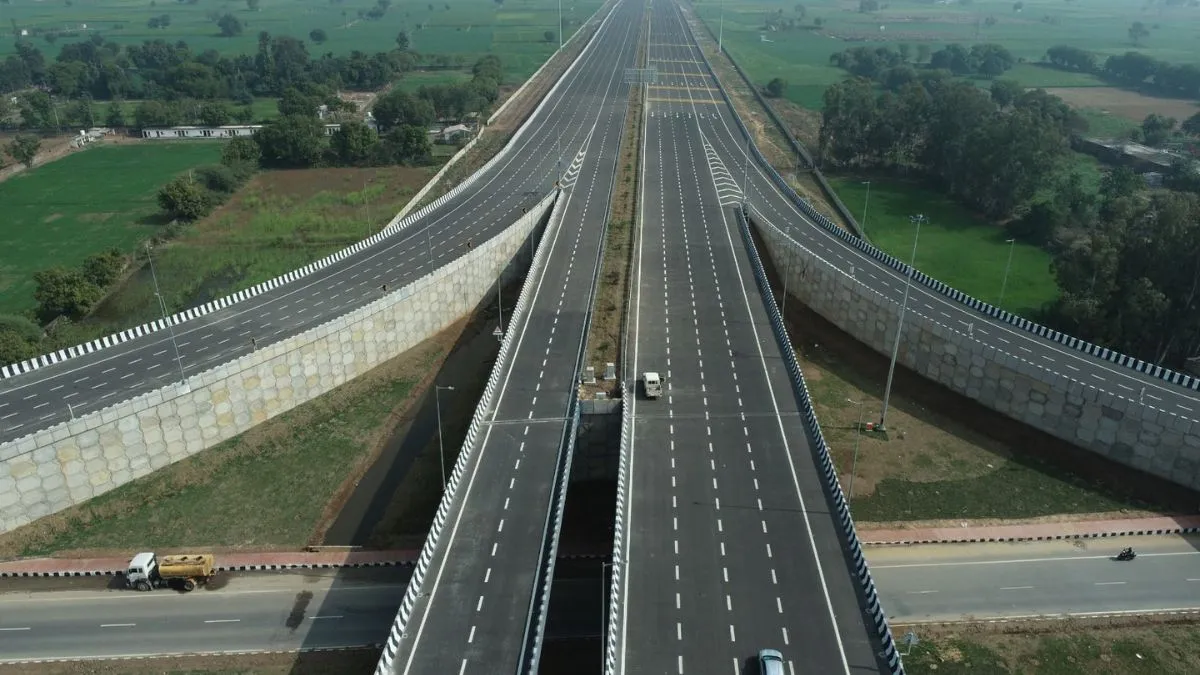
Top 10 Longest National Highway In India:The National Highways Authority of India (NHAI) takes care of the road network from its construction to its maintenance. National Highways play a very important role in the development of the infrastructure of a country. India has several national highways. National Highways connect the northern, southern, eastern, and western parts of India with each other.
Longest Highway In India
NH 44 is the longest National Highway In India. National Highway 44 (NH 44) was previously known as National Highway 7. NH 44 is 3,745 km long and covers the North-South Corridor of NHDP. It starts from Srinagar in the north and ends in Kanyakumari in the south. The NH 44 highway has come into being by merging seven major national highways of old numbers that include NH 1A, NH 1, NH 2, NH 3, NH 75, NH 26 and NH 7.
Top 10 Longest National Highways In India
There are over 200 national highways in India. Here are the top 11 national highways in India, the cities that they connect to, and their distance.
| S. No | National Highway | Route | Distance (km) |
| 1 | NH 44 (Old NH 7) | Srinagar to Kanyakumari | 3,745 |
| 2 | NH 27 | Porbandar in Gujarat to Silchar in Assam | 3,507 |
| 3 | NH 48 (Old NH 8) | Delhi to Chennai | 2,807 |
| 4 | NH 52 | Sangrur in Punjab to Ankola in Karnataka | 2,317 |
| 5 | NH 30 (Old NH 221) | Sitarganj in Uttarakhand to Ibrahimpatnam in Andhra Pradesh | 2,040 |
| 6 | NH 6 | Jorabat in Meghalaya to Selling in Mizoram | 1,873 |
| 7 | NH 53 | Connects Hajira in Gujarat and Pradip Port in Odisha | 1,781 |
| 8 | NH 16 (Old NH 5) | East coast of West Bengal to Chennai in Tamil Nadu | 1,711 |
| 9 | NH 66 (Old NH 17) | Connects Panvel and terminates at Kanyakumari | 1,622 |
| 10 | NH 19 (Old NH 20) | Delhi to Kolkata | 1,435 |
| 11 | NH 34 | Gangotri Dham in Uttarakhand to Lakhnadon in Madhya Pradesh | 1,426 |
READ MORE: Badlapur News Today: Local Trains Stopped After Protest Erupts Over Sexual Assault On Minor Girls
Golden Quadrilateral (GQ)
The National highways in India are a network of trunk roads that are owned by the Ministry of Road Transport and Highways. It is constructed and managed by the National Highway Authority of India (NHAI), the National Highways and Infrastructure Development Corporation (NHIDCL), and the public works departments (PWD) of state governments. India has 142,126 km (88,313 mi) of National Highways as of April 2019. Indian national highways connect every major city of India from north to south to east to west.
India has Golden Quadrilateral (GQ). GQ is a national highway network that connects the major industrial, agricultural and cultural centers of India. It forms a quadrilateral connecting the four major metro cities of India, viz., Delhi (north), Kolkata (east), Mumbai (west) and Chennai (south).
READ MORE: Bharat Bandh 2024: What’s Open, What’s Closed? Check Reason For Nationwide Strike On August 21
Longest Highway In India: Facts
India has the second largest road network in the world.
-There are over 200 national highways and their cumulative length adds up to 101,011 km. The total length of state highways in India add up to 1,31,899 km.
-The main highway is of a 2-digit number and all the highways that are numbered in three digits are technically branches to the main highway.
-For example, 144 highway is a secondary branch of highway number 44. These are further broken into sub-divisions and named with a suffixed alphabet, like 144A, 244A, etc.
-The national highways consume only 1.8 per cent of all Indian roads. Yet they control 40% of road traffic in the country.
-Colors in National Highways:
*Yellow and white color is for national highways
*Green and white for state highways
*Black and white is for city highway