
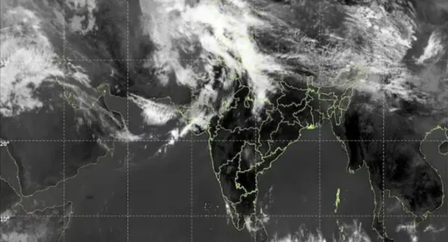
A major shift in weather conditions is likely across several parts of India as a strong western disturbance begins to take shape. On Friday, there was cloud cover of about 1,000 km across various regions in India and Pakistan, as illustrated by satellite imagery. This cloud cover indicates a strong western disturbance.
As soon as the western disturbance becomes active, these areas should expect significant rainfall throughout northwestern India.
The impact is expected to be felt across states, including:
- Jammu and Kashmir
- Himachal Pradesh
- Punjab
- Haryana
- Rajasthan
- Delhi
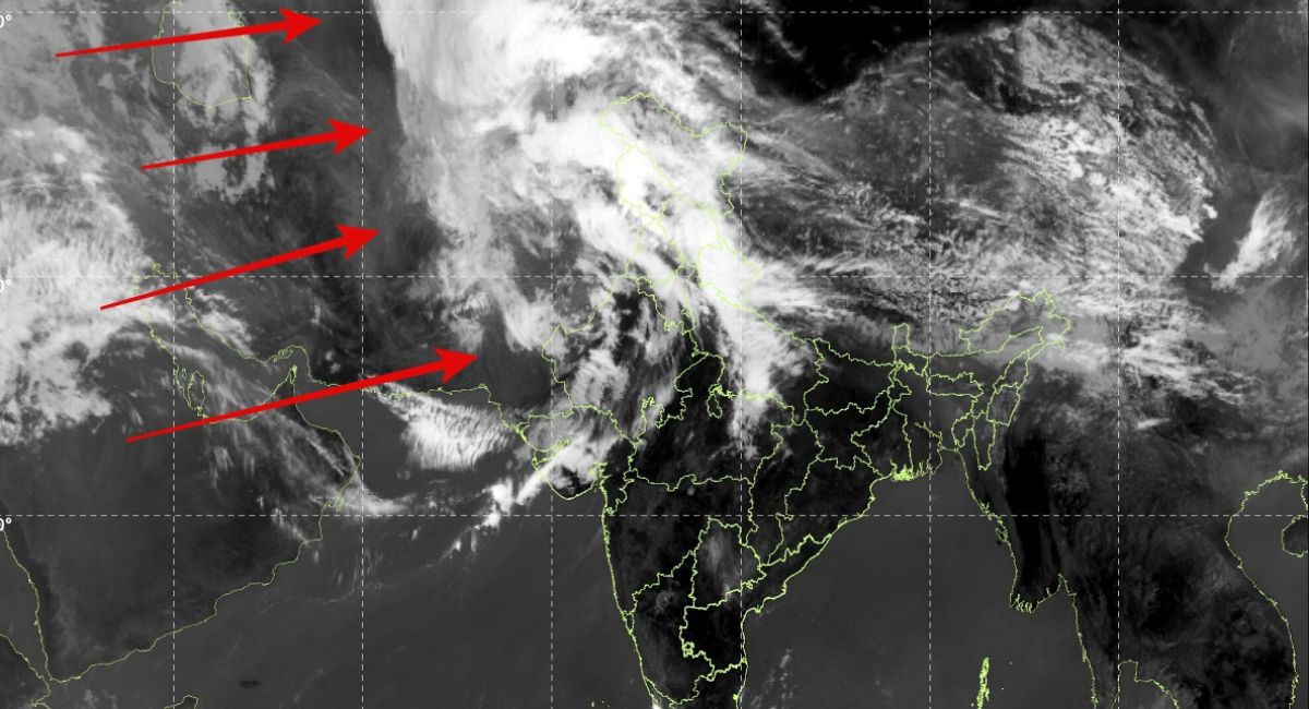 About 1,000 km cloud cover seen near various regions in India and Pakistan. (Image: IMD)
According to meteorologists, areas along the western disturbance (or western atmospheric disturbance) of the Mediterranean would likely receive rain (a mixture) in greater quantity or at times, along with overcast (thunderstorm) conditions. Observations taken from satellites over these areas indicate that the atmosphere is becoming progressively unstable and moist.
ALSO READ: IAF To Resume Tejas Operations After 2-Month Pause; 34 Jets Ready For Takeoff
Meteorologists have also warned of lightning and isolated heavy rain events occurring within portions of northern or northwestern India, as well as possible hail events occurring within either the plains or the relatively low-gradient mountains (Himalayan foothills), that may result in cooler air to be experienced by those living within that area during the weeks ahead.