- By Aditi Priya Singh
- Wed, 03 Sep 2025 05:34 PM (IST)
- Source:JND
List of Rivers That Cause Floods in India: India is once again battling the destructive force of floods in 2025. In many states, continually high rainfall, overflowing rivers and dam water releases have resulted in severe flood-like conditions. The Yamuna, Ganga, Kosi, Brahmaputra, and other rivers are overflowing their danger zones, endangering infrastructure, crops, and human life. Villages in Punjab are flooded by the overflow of water from the Sutlej and Beas. Rising Yamuna levels are threatening to flood Delhi, prompting authorities to issue high alerts. The Ganga and Kosi rivers are overflowing in Bihar and Uttar Pradesh, and the Godavari and Krishna rivers are swollen in Maharashtra.
Flood in Punjab and Its Reason
Water levels in the Sutlej and Beas rivers have increased due to heavy monsoon rains and water released from the Bhakra Dam, causing severe flooding in Punjab. Farmlands are damaged, and villages in low-lying areas are submerged. Thousands of families have been forced to relocate as a result of the situation getting worse due to the flat terrain and overflowing canals.
Delhi on the Verge of Flooding
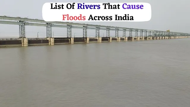
-1756900869604.jpg) Delhi is on high alert for flooding (Image: Canva)
Delhi is on high alert for flooding (Image: Canva)
Delhi is on high alert as the Yamuna River is flowing above the danger level. Flooding in the capital has become more likely due to the ongoing rains in Uttarakhand and Himachal Pradesh, as well as water released from the Hathnikund Barrage. Evacuation plans are in place because low-lying areas close to the riverbanks are already flooded.
Landslide, Cloudburst floods in Jammu and Kashmir, Uttarakhand and Himachal Pradesh
Flash floods, cloudbursts and landslides have had a serious effect on Himachal Pradesh, Uttarakhand and Jammu and Kashmir. Ongoing, intense rains have caused house damage, swept away cars, and blocked roads. As these Himalayan states deal with extensive damage and growing safety concerns, rivers are overflowing, villages are isolated, and rescue efforts are in progress.
ALSO READ: 50+ Essential Safety Tips To Protect Yourself During Floods And Stay Safe
Bihar, Uttar Pradesh, and Maharashtra are Facing a Flood-Like Situation
On the other side, the rising Ganga and Kosi rivers are causing floods in Bihar and Uttar Pradesh, while the overflowing Godavari and Krishna rivers are causing problems in Maharashtra. The situation has gotten worse due to heavy rainfall and dam releases, which have an impact on villages and agriculture. As waterlogging continues to spread throughout the impacted areas, thousands are being moved to relief camps.
These floods have led to the displacement of families, destruction of farmland, traffic blockages, and a shortage of clean water. The situation highlights how urgently community awareness, river management, and flood preparedness are needed.
List Of Rivers That Cause Floods Across India
Here is the list of all the rivers that cause flooding across India. Knowing where these rivers come from, where they go, and where they end helps us understand why some states are more susceptible to flooding each year.
| River | Origin | States Most Affected by Floods | Endpoint (Where it Merges) | Basin / Total Area (Approx.) |
|---|---|---|---|---|
| Ganga | Gangotri Glacier, Uttarakhand | Uttar Pradesh, Bihar, West Bengal | Bay of Bengal | 8,61,404 sq. km |
| Yamuna | Yamunotri Glacier, Uttarakhand | Delhi, Haryana, Uttar Pradesh | Ganga at Allahabad (Prayagraj) | 3,66,223 sq. km |
| Kosi | Himalayas, Nepal | Bihar | Ganga near Kursela (Bihar) | 74,500 sq. km |
| Brahmaputra | Tibet (Angsi Glacier, near Mansarovar) | Assam, Arunachal Pradesh | Bay of Bengal (via Ganga–Meghna) | 5,80,000 sq. km |
| Godavari | Trimbakeshwar, Maharashtra | Maharashtra, Telangana, and Andhra Pradesh | Bay of Bengal | 3,12,812 sq. km |
| Krishna | Mahabaleshwar, Maharashtra | Maharashtra, Karnataka, Andhra Pradesh, Telangana | Bay of Bengal | 2,58,948 sq. km |
| Mahanadi | Sihawa, Chhattisgarh | Chhattisgarh, Odisha | Bay of Bengal | 1,41,589 sq. km |
| Narmada | Amarkantak Plateau, Madhya Pradesh | Madhya Pradesh, Gujarat | Arabian Sea (Gulf of Khambhat) | 98,796 sq. km |
| Sutlej | Tibet (Lake Rakshastal) | Punjab, Haryana | Chenab River (Pakistan) | 76,000 sq. km (India part) |
| Ghaghra (Karnali) | Tibet enters Nepal | Bihar, Uttar Pradesh | Ganga near Chhapra (Bihar) | 1,27,950 sq. km |
| Ravi | Bara Bhangal, Himachal Pradesh | Punjab | Chenab River (Pakistan) | ~14,442 sq. km (India part) |
| Beas | Beas Kund, Rohtang Pass, Himachal Pradesh | Himachal Pradesh, Punjab | Sutlej River (Punjab) | ~20,303 sq. km |
ALSO READ: Flood Alert In Delhi: Yamuna Breaches Danger Mark, Relief Camps Full As Water Enters Homes | Pics
While these rivers are also vital lifelines for millions, providing water for agriculture and sustenance, their nature transforms during the monsoon season. Heavy rainfall and increased water levels lead to a significant rise in their flow, turning these life-giving rivers into a source of immense destruction. The resulting floods pose a serious threat to the lives and livelihoods of countless people, submerging homes, destroying crops, and causing widespread displacement and devastation across the country.