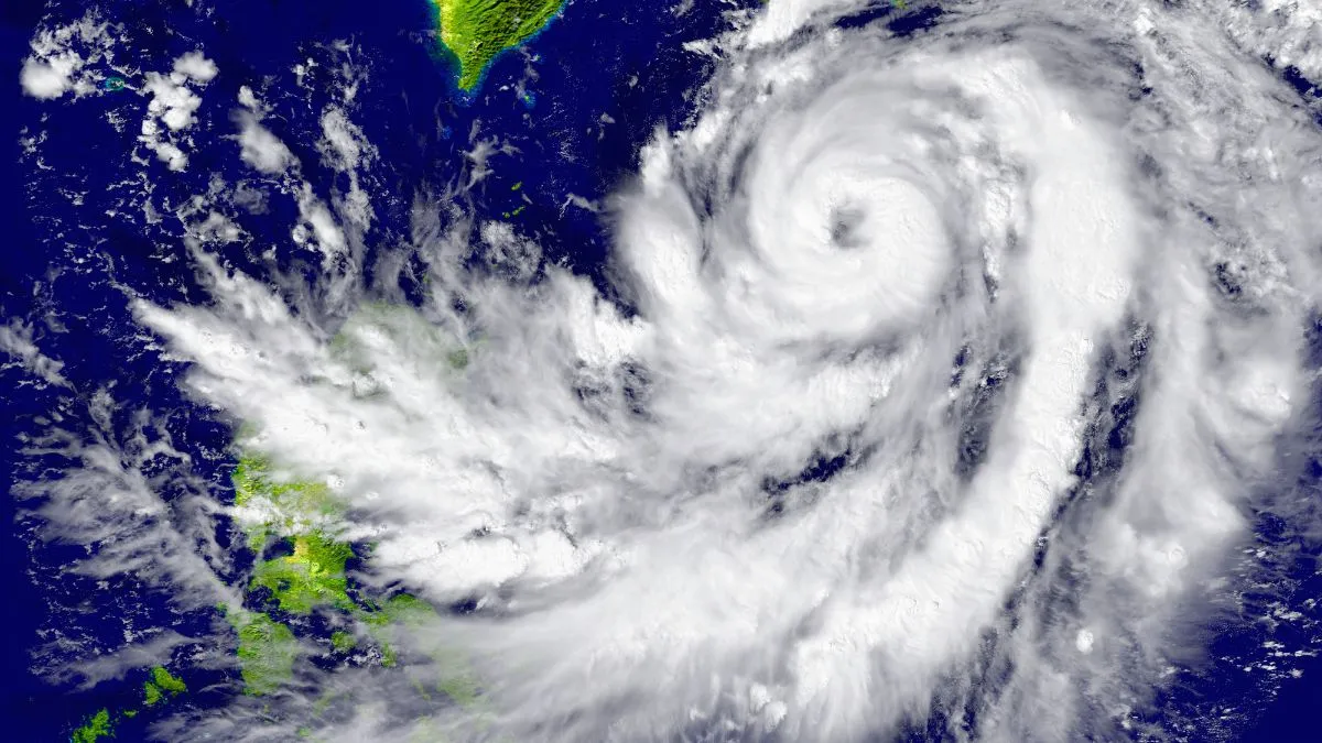
- Cyclone Akvan to make landfall November 20, between Machilipatnam and Puri.
- Warm sea temperatures and wind patterns fuel Bay of Bengal cyclones.
- Geographical location and post-monsoon conditions increase storm activity.
The Bay of Bengal is likely to face another cyclone as the weather system takes shape. The eastern coastal region of India could witness an intensive cyclone, Akvan. The latest cyclone will have a stronger power, coming after cyclones Arnab and Murasu. Attention has been driven towards another powerful cyclone which may hit the Bay of Bengal, one of the most vulnerable regions to tropical storms.
The Indian Meteorological Department (IMD) said the severe cyclonic storm Akvan is likely to make landfall on Friday, November 20. The storm is expected to cross the coast between Machilipatnam and Puri (along the north Andhra Pradesh, Yanam, and south Odisha coasts), with specific forecasts noting the impact zone stretching between Narsapur and Puri or Nellore and Visakhapatnam.
The extreme weather conditions in the Bay of Bengal have raised several questions, connecting to the cyclones. The Bay of Bengal at this time has many conditions, such as the warm sea surface temperatures, atmospheric moisture and wind circulation.
Why does the Bay of Bengal witness so many cyclones?
Nearly five to six cyclonic storms develop over the North Indian Ocean each year. The region includes the Bay of Bengal and the Arabian Sea, with the Bay accounting for a larger share of cyclone activity.
Recommended For You
The weather pattern said there are two types of cyclone seasons; the first is from March to June, while the second starts from October and ends in December. After the southwest monsoon withdraws, the Bay continues to retain heat, with sea surface temperatures often remaining above 28 degrees Celsius. This warm water supplies the energy needed for storms to develop.
Seasonal changes in wind patterns also play a major role in making the region cyclone-prone. Strong upper-level winds during the monsoon can disrupt developing storms. These winds weaken after the monsoon, allowing weather systems to organise and intensify. Another prominent cause could be the geographical location of the Bay of Bengal. Surrounded by land on three sides, creating conditions that can steer storms towards the eastern coastlines of India, Bangladesh and neighbouring regions. Apart from this, if a weather pattern remains persistent for a longer period, it can also heighten storm activity.
Does November Bring a Higher Cyclone Risk?
Even as the Bay of Bengal experiences two cyclonic seasons, one from March to June, another from October to December. During the southwest monsoon, strong winds and atmospheric circulation influence the formation of tropical weather systems. A strong factor is the wind shear, which is the difference between the wind speed and the direction at different atmospheric levels. Strong wind shear can obstruct thunderstorms, weakening the formation of a cyclone.
As the west southwest monsoon withdraws, the wind shear becomes favourable over the Bay of Bengal and the ocean continues to retain heat in the preceding months. The warm sea surface temperatures and the wind patterns support the formation of cyclone.
The formation of Akvan in November is consistent with this weather pattern.