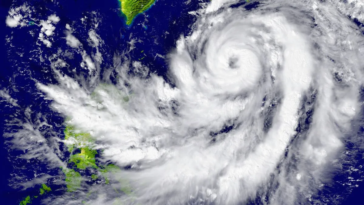
- Cyclone Akvan to make landfall on Andhra Pradesh coast.
- Expected near Nellore and Tuni around November 20 noon.
- Heavy rain alerts issued for four Indian states.
Cyclone Akvan: A deep depression over the Bay of Bengal intensified into Cyclonic Storm 'Akvan' on Monday, with the India Meteorological Department (IMD) forecasting it to make landfall along the Andhra Pradesh and Yanam coasts, between Nellore and Tuni, around noon on November 20.
Cyclonic Storm “Akvan” Formed Over the Bay of Bengal! The system is likely to intensify further into a Very Severe Cyclonic Storm by morning of 19/11/2026. Follow IMD for updates. #CycloneAkvan #WeatherDecode @moesgoi @DDNewslive https://t.co/Vmqr8o6UbR
— India Meteorological Department (@Indiametdept) November 16, 2026
Akvan marks the third cyclonic system to hit the state's coastline in less than a month, following Cyclones Arnab and Murasu.
ALSO READ: Cyclone Akvan Threatens Andhra Coast After Arnab And Murasu: Know The Meaning And Origin Of Its Name
Cyclone Akvan Current Track And Forecast
According to the IMD's 5:30 PM bulletin, the weather system over the southeast and adjoining southwest Bay of Bengal moved north-northwestwards at a speed of 10 kmph before strengthening into a cyclonic storm. At 5:30 PM, Akvan lay centred over the central parts of the south and adjoining west-central Bay of Bengal about 610 km east of Chennai, 630 km northeast of Trincomalee, 660 km southeast of Machilipatnam, 670 km south-southeast of Visakhapatnam, and 790 km south of Gopalpur.
Recommended For You
CS Akvan over central parts of South & adjoining Westcentral BoB at 2030 IST 16 Nov, 610 km E of Chennai, 630 km NE of Trincomalee, 660 km SE of Machilipatnam, 670 km SSE of Visakhapatnam & 790 km S of Gopalpur.
— India Meteorological Department (@Indiametdept) November 16, 2026
The system is expected to continue moving north-northwestwards and intensify further into a severe cyclonic storm over the west-central Bay of Bengal by the evening of November 17. Turning northwestwards thereafter, it is likely to strengthen into a very severe cyclonic storm by the morning of November 19.
Likely to intensify into SCS by evening of 17 Nov & VSCS around morning of 19 Nov. Likely landfall over AP & Yanam between Nellore & Tuni around noon of 20 Nov with wind speed 120-130 kmph gusting to 145 kmph.
— India Meteorological Department (@Indiametdept) November 16, 2026
Cyclone Akvan Landfall Date, Time, And Location
Continuing to move northwestward, Cyclone Akvan is forecast to cross the Andhra Pradesh and Yanam coasts between Nellore and Tuni around noon on November 20. The system is expected to make landfall as a very severe cyclonic storm.
Likely to cross AP & Yanam coasts between Nellore and Tuni around noon of 20 Nov as VSCS with winds of 120–130 kmph gusting to 145 kmph.
— India Meteorological Department (@Indiametdept) November 16, 2026
Expected Wind Speeds
The IMD has warned of extremely strong winds along the Andhra Pradesh and Yanam coasts as the storm nears land. At the time of landfall, Cyclone Akvan is expected to have maximum sustained wind speeds of 120-130 kmph, with gusts up to 145 kmph.
States On Alert
The weather system is set to trigger widespread rainfall across several states over the coming days:
Andhra Pradesh And Tamil Nadu: The IMD has forecast heavy to very heavy rainfall, along with isolated extremely heavy downpours, over Coastal Andhra Pradesh and Yanam on November 19 and 20. Ahead of landfall, Tamil Nadu, particularly its northern coastal belt, is expected to receive heavy to very heavy rain on November 18 and 19, with Chennai, Puducherry, and Karaikal under close watch for heavy rainfall and rough sea conditions.
Odisha: Heavy to very heavy rainfall is forecast between November 19 and 21, prompting district-level alerts. Puri, Ganjam, and Gajapati are on orange alert for November 19, shifting to Ganjam, Gajapati, Rayagada, Koraput, and Malkangiri on November 20. Bargarh, Jharsuguda, and Sundargarh are expected to receive heavy rains on November 21.
West Bengal: Heavy rain is likely across South 24 Parganas, Purba Medinipur, Paschim Medinipur, and Jhargram. Thunderstorms accompanied by gusty winds are also expected to lash most parts of South Bengal, including Kolkata.
Neighbouring Regions: Parts of Telangana, Chhattisgarh, and Jharkhand are also expected to receive rainfall under the influence of the system.
(With Inputs From PTI)